


Monte Faro
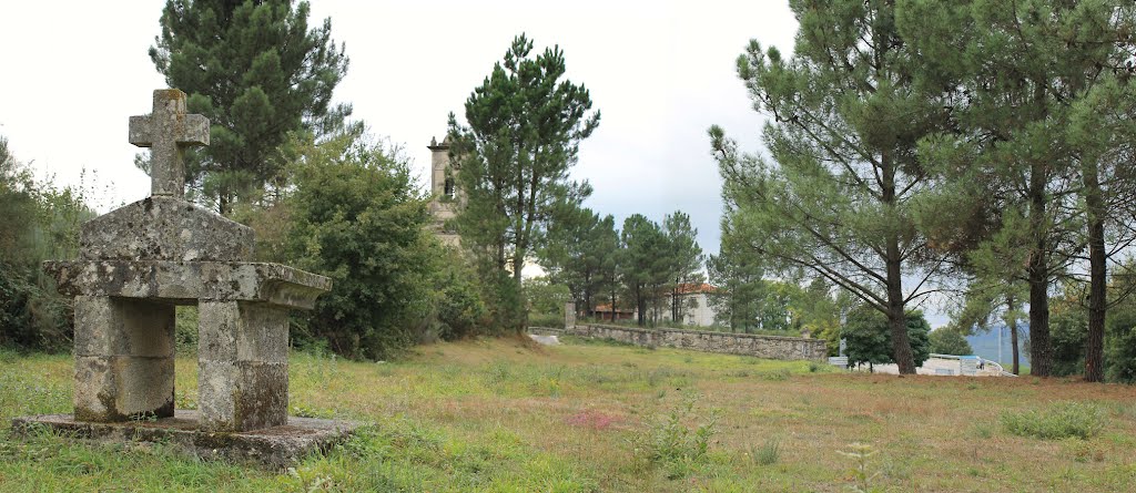
It is a strategic site, as it provides broad views across the terrain of the four Galician provinces. The Monte Faro reaches an altitude of 1,187 m at its tallest peak, where there is also a hermitage and a recreation spot. Due to its position, it gets a lot of rainfall as well as heavy snow in some years. The rounded summits have gentle slopes, allowing pools to form. There is some very pleasant agricultural and cattle farming scenery in the valleys, which are also home to oakwoods. There is a viewing point at the top of Monte Faro, which offers the chance to observe the borders of the four Galician provinces.
Access
- Accesos para vehículos privados: Sí
- Accesos a pie: Sí
Features
Located in Rodeiro, Carballedo and Chantada. Responsible body Xunta de Galicia Regional Ministry for Environment, Territory and Infrastructure Opening dates This attraction can be visited at any time.- Native aquatic flora and fauna: Not indicated.
- Description of the surroundings: Mountainous
- Native terrestrial flora and fauna: Pine groves and oakwoods
- Interés Paisajístico: High
Services
- Information point: Sí
- Merendero: Sí
- Observatorio de Aves: Sí