


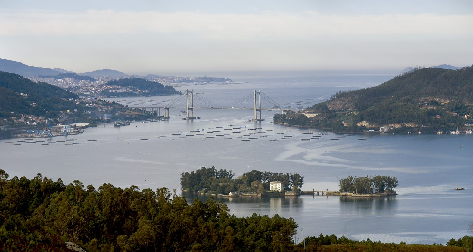
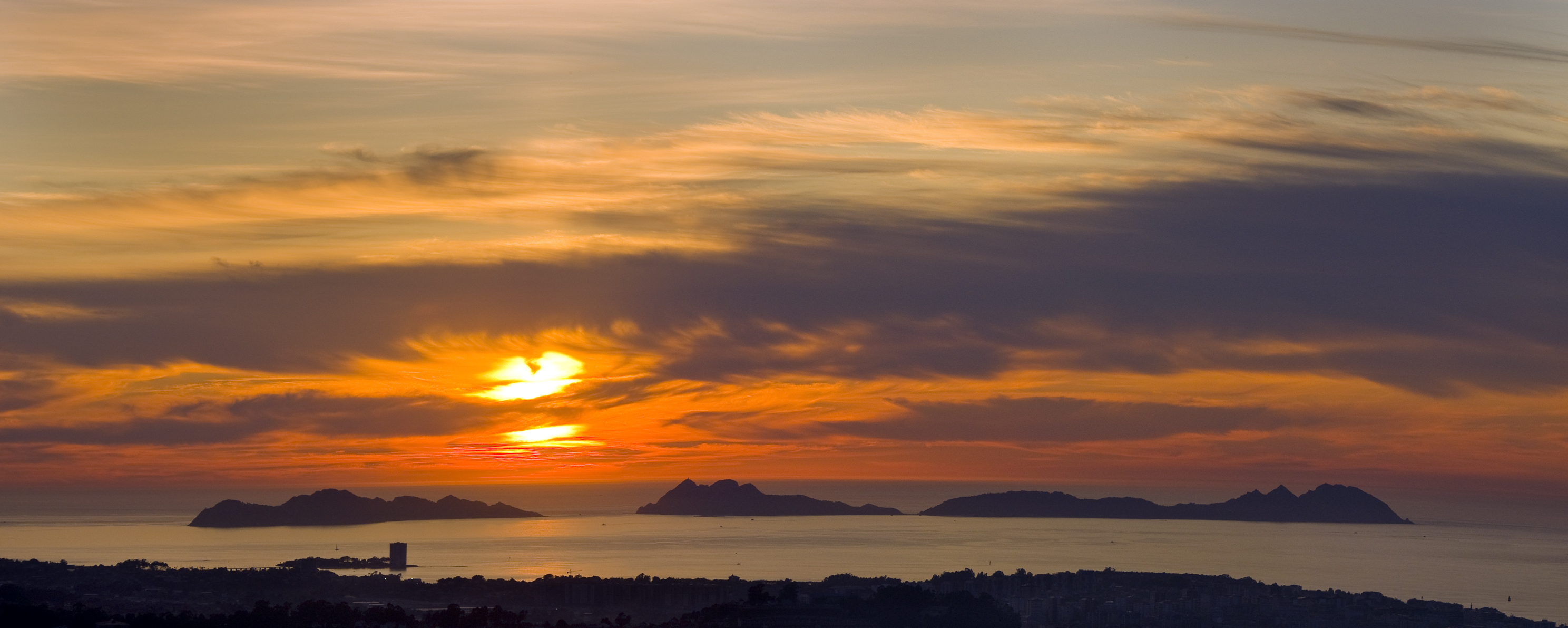
Ría de Vigo

It is the southernmost in the Galician Rías Baixas, and one of the biggest in Galicia with a surface area of 176 km², 33 km long, and between 10 km wide (at the Atlantic mouth) and 600 m (at the Rande strait). The difference between the rías of Muros, Arousa, Pontevedra is that they become narrow at the head, while the Vigo ría narrows in Rande and widens at its end at San Simón cove. Its coast laps the municipalities of Cangas, Moaña, Vilaboa, Pontevedra, Soutomaior, Redondela, Vigo, and Baiona The western access is protected by the Cíes Islands, which form part of the Atlantic Islands National Park. The interior contains the islands of Toralla, and those of San Simón and San Antón.
Access
- Accesos a pie: Sí
- ¿Existe transporte público para acceder al recurso?: Sí
- Accesos para vehículos privados: Sí
Services
- Cafetería / Restaurante: Sí
- Navegación y fondeo: Sí
- Observatorio de Aves: Sí
- Permitido el baño: Sí
Sport or underwater fishing
- ¿Se necesita licencia?: Sí
- Pesca deportiva o submarina: Sí
Diving area
- ¿Se necesita licencia?: Sí
- Zona de buceo: Sí
Features
Native aquatic flora and fauna The ría is rich in octopus, sardine, squid, sole, crustaceans such as small crab and prawns, and bivalve molluscs, for example the common cockle, clam, oyster, and mussel. The latter two are grown from rafts known as bateas: there are more than 500 mussel bateas in the ría, making it the second-largest in terms of production after the Arousa Ría. Native terrestrial flora and fauna Surrounding the ría is a range of severely eroded granite formations, some of which exceed 600 m in height, such as Domaio lighthouse, Monte Galleiro, and Monte Galiñeiro. Its protected natural spaces are just one more incentive to enjoy the nature here: the cove of San Simón, A Ramallosa marshlands, Cabo Home, Estelas Islands and Cíes Islands, to name but a few. Located in Between Cabo Home and Monte Ferro.- Responsible body: None.
- Interés Paisajístico: High