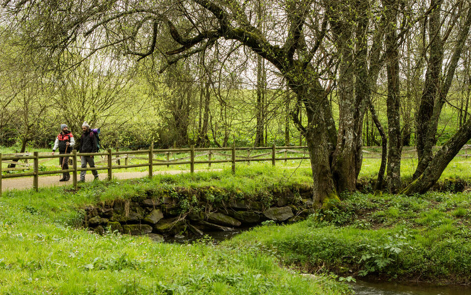
Camino de invierno a Santiago de Compostela
Transports le plus proche:
Ville la plus proche:
Vilagarcía de Arousa
Pontevedra
Spain
Teléfono
Camino de invierno (‘Winter Route’) is an alternative path in Galicia that passes through the four provinces. Already used by the Romans, it enters the region from the central plateau and follows the lowlands along the Sil River. Pilgrims who wanted to avoid the hard climb up the snowy hills of O Cebreiro opted for this trail, particularly in the winter. It starts in Ponferrada (León) and runs through Ribeira Sacra and the region of Deza in Pontevedra, where it links with the Southeast Route to Santiago.
Notez cette ressource
Début du voyage
Las Médulas
Fin du voyage
Santiago de Compostela
Durée de l'accord
8 días a pie o 5 días en bicicleta
Longueur totale de la route (km)
262,7 km
Nombre d'étapes recommandé
10
Durée moyenne par étape
30 km
Trace complémentaire
En la etapa 9 se une al Camino Sanabrés o Vía de la Plata
Intérêt paysager des environs
Surélevé
Description de l'environnement
Rural
Points d'intérêt
Rodeiro
Puente medieval de Pedroso
Carballeira das Casianas
A Laxe
Lalín
Puente de Taboada
Santuario de O Corpiño
Pazo de Oca
Puente medieval de Pedroso
Carballeira das Casianas
A Laxe
Lalín
Puente de Taboada
Santuario de O Corpiño
Pazo de Oca
Signalisation
Adéquat
Difficulté
Haut
Itinéraire (M.I.D.E.)
4
Déplacement (M.I.D.E.)
3
Effort (M.I.D.E.)
5
Moyen (M.I.D.E.)
4
État de conservation
Bon
Matériau recommandé
Lleva calzado cómodo y elástico (preferiblemente de suela dura), sombrero y bastón. La ropa debe adaptarse a la época del año.


