Sendeiro de A Moura
Nearest transports:
Nearest city:
Vigo
36430 Arbo Pontevedra
Spain
Teléfono
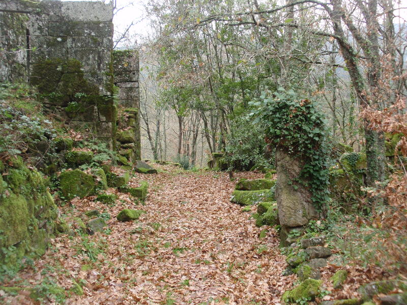
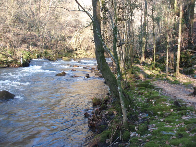
The A Moura route starts at the Roman bridge at San Xoán, which, in 1809, was the site of an important battle against the French. The trail sets off northwards and upstream, along the Deva River, and reaches the old road bridge that takes you to the village of San Xoán. From here, it climbs between the walls of private estates to O Portal do Grilo. Further on, the path goes through A Maraña to the abandoned hamlet of Trabazos, which is full of buildings typical of the area. This is where the sharpest descent starts, and it takes you to the small village of A Fenteira. Here the descent starts to Coto da Moura
Rate this resource
The weather in this area
Typology of the route
Circular
Start of the journey
Puente de San Xoán de Mourentán
Duration
4 horas 30 minutos
Total length (km)
9,50 Km
Landscape interest of the surroundings
Elevated
Description of the environment
Fluvial
Signage
Adequate
Difficulty
Medium
Itinerary (M.I.D.E.)
2
Displacement (M.I.D.E.)
2
Effort (M.I.D.E.)
2
Medium (M.I.D.E.)
2
State of conservation
Good
Responsible body
Concello de Arbo


