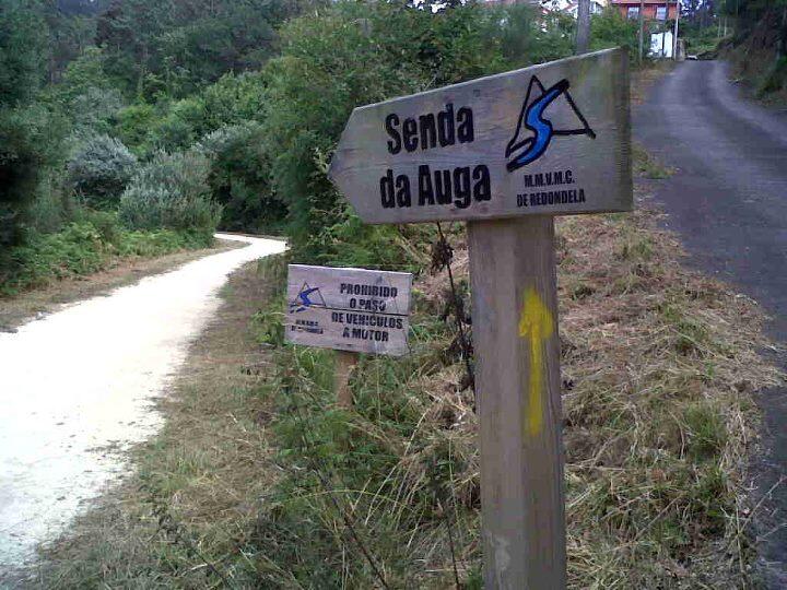
Senda del Agua
Transports le plus proche:
Ville la plus proche:
Pontevedra
Pontevedra
Spain
Teléfono
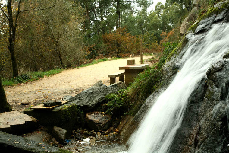
The water trail in Redondela is a path that gives access to the channel that carried water from the Eiras reservoir, in Fornelos de Montes, to supply the city of Vigo with water, which travelled through the municipalities of Fornelos de Montes, Soutomaior, Pazos de Borbén and Redondela before arriving to Vigo.
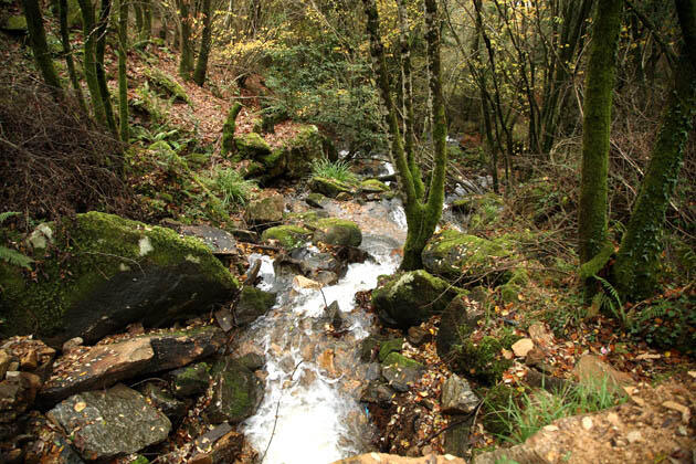
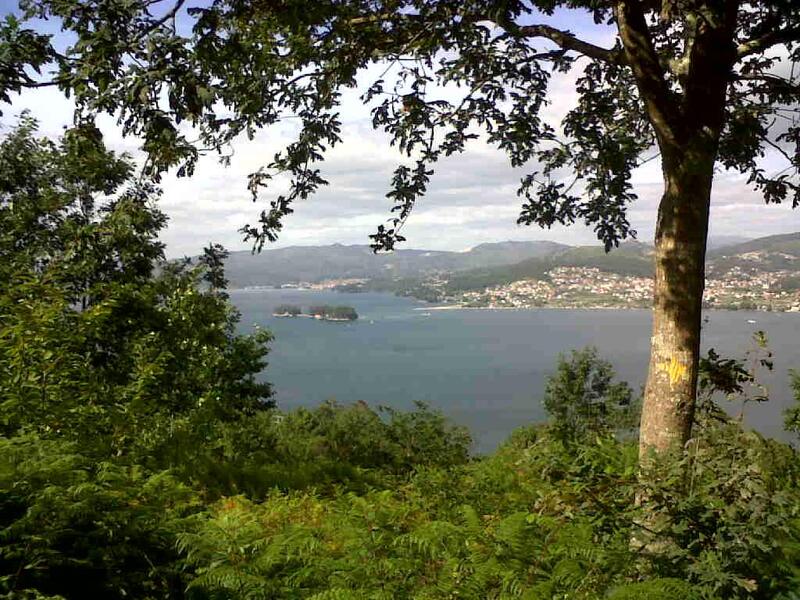
In Redondela, it covers 23 km in total and goes through several parishes. This itinerary has a great ecological and natural value, and leads to countless diverse landscapes, from farmlands to population centres and woodland areas. In addition, it is a great vantage point to the Ría de Vigo.
Notez cette ressource
Typologie de l'itinéraire
Linéaire
La durée
45 minutos
Longueur totale (km)
23 kilómetros
Cartographie I.G.N.
1:25.000 / 223 - II Redondela
Intérêt paysager des environs
Surélevé
Description de l'environnement
Fluvial
Difficulté
Sous
Itinéraire (M.I.D.E.)
2
Déplacement (M.I.D.E.)
2
Effort (M.I.D.E.)
3
Moyen (M.I.D.E.)
2
État de conservation
Bon
Organisme responsable
Concello de Redondela
Matériau recommandé
Se recomienda llevar ropa y zapato cómodo, de deporte o botas de montañismo.


