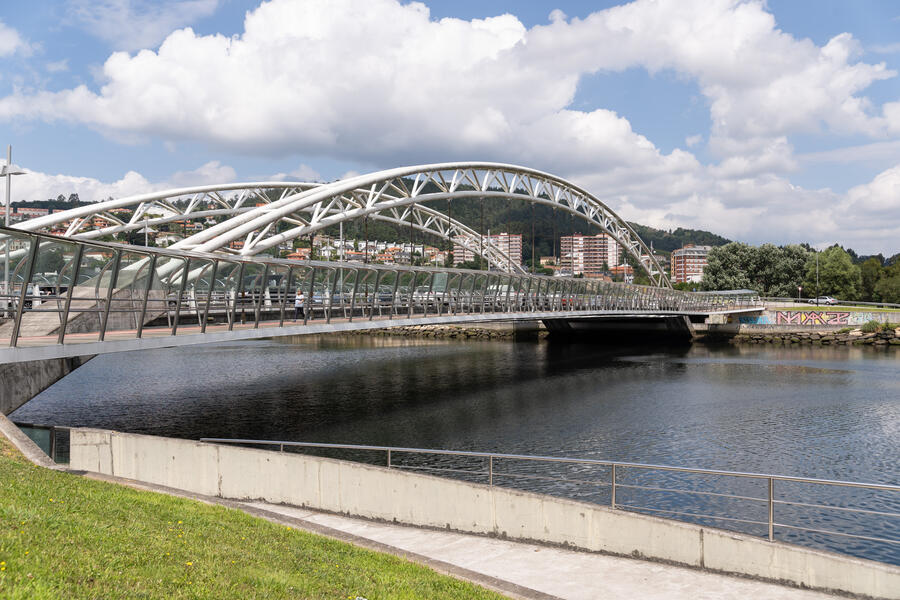
Río Lérez
Nearest city:
Pontevedra
Pontevedra
Spain
This river, classified as a Site of Community Importance, starts in the O Candán Mountains, one of the rainiest parts of the Galician Mountain Range, which separates the western and eastern provinces of Galicia (Pontevedra and Ourense, in this case). Average rainfall here reaches 2000 millimetres annually.
The Lérez River starts in Terras de Pontevedra passing through Cotobade and Campo Lameiro, and then flows through Pontevedra until it ends at the estuary. The 57-km long river flows through a valley with lithology based on schist, granite and gneiss.
Rate this resource
Figures of protection
Protected area Natura 2000 Network - Site of Community Importance (SCI)
Municipalities it travels through
Forcarei, Cerdedo-Cotobade, Campo Lameiro y Pontevedra
DImensions
59,7 km de longitud. 374 km2 de superficie de cuenca.
Landscape interest of the surroundings
Elevated
Description of the environment
Fluvial
Sport or underwater fishing
Yes
Licence required


