DISCOVER
Ruta del río San Martiño
- Image


Lugar de Vilar, Santa María de Armenteira
36192 Meis Pontevedra
Spain
Teléfono
Know more about

Meis
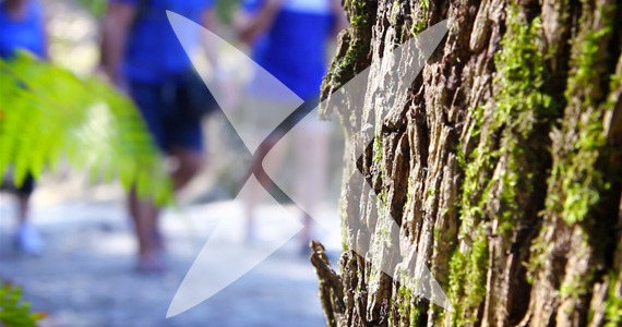
The San Martiño river route starts in the hills of the parish of San Salvador de Meis (As Piñeiras) - which is its highest point - close to the border of the municipality of Poio and the hamlet of A Escusa. The route runs through Salcedas, A Medoña and A Igrexa, all in the parish of San Salvador de Meis and through Os Cruceiros and A Gándara, in San Martiño de Meis and ends at the dual carriageway roundabout at O Salnes - the Armenteira exit - at the confluence of the San Martiño and Armenteira rivers
Nearest city:
Vilagarcía de Arousa
Rate this resource
Typology of the route
Linear
Duration
45 minutos
Total length (km)
5380 metros
I.G.N. cartography
Cartografía I.G.N (1:25000): Nº 185-I Meaño
Landscape interest of the surroundings
Moderate
Description of the environment
Rural
Difficulty
Under
Itinerary (M.I.D.E.)
1
Displacement (M.I.D.E.)
2
Effort (M.I.D.E.)
2
Medium (M.I.D.E.)
1
State of conservation
Good
Responsible body
Concello de Meis