Senda del Agua
Nearest city:
Pontevedra
Pontevedra
Spain
Teléfono
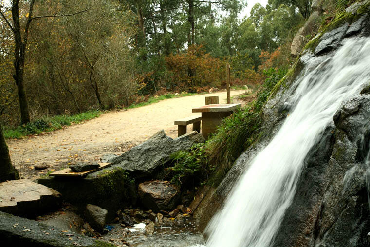
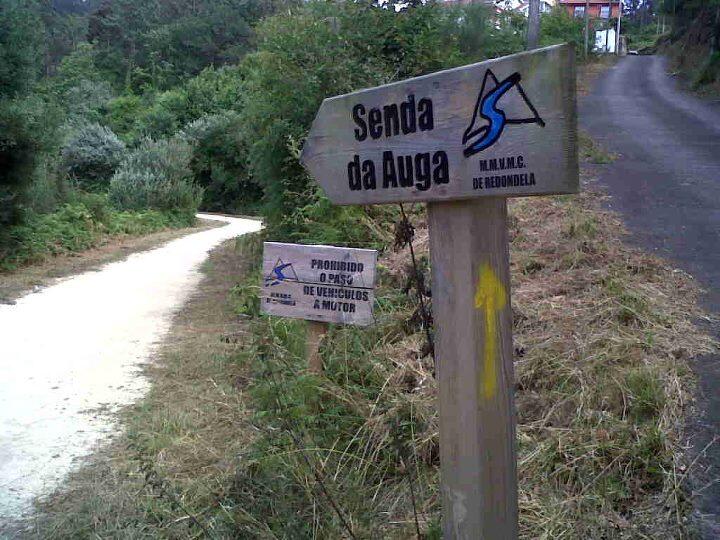
The water trail in Redondela is a path that gives access to the channel that carried water from the Eiras reservoir, in Fornelos de Montes, to supply the city of Vigo with water, which travelled through the municipalities of Fornelos de Montes, Soutomaior, Pazos de Borbén and Redondela before arriving to Vigo.
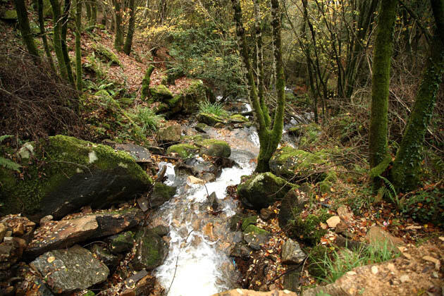
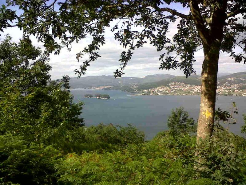
In Redondela, it covers 23 km in total and goes through several parishes. This itinerary has a great ecological and natural value, and leads to countless diverse landscapes, from farmlands to population centres and woodland areas. In addition, it is a great vantage point to the Ría de Vigo.
Rate this resource
Typology of the route
Linear
Duration
45 minutos
Total length (km)
23 kilómetros
I.G.N. cartography
1:25.000 / 223 - II Redondela
Landscape interest of the surroundings
Elevated
Description of the environment
Fluvial
Difficulty
Under
Itinerary (M.I.D.E.)
2
Displacement (M.I.D.E.)
2
Effort (M.I.D.E.)
3
Medium (M.I.D.E.)
2
State of conservation
Good
Responsible body
Concello de Redondela
Recommended material
Se recomienda llevar ropa y zapato cómodo, de deporte o botas de montañismo.


