Sendero Azul del Cabo Udra
Nearest transports:
Nearest city:
Vigo
Cabo Udra
36930 Bueu Pontevedra
Spain
Teléfono
Web
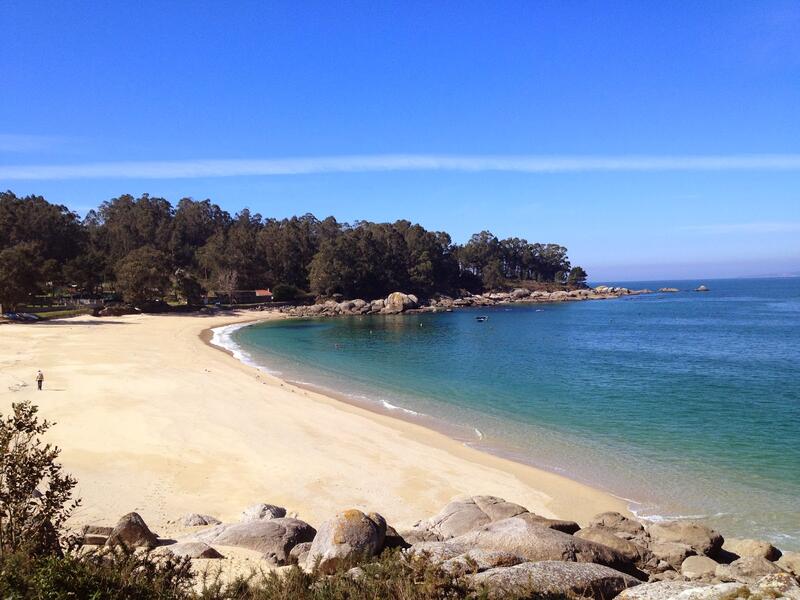
This route runs through the west coast of the municipality of Bueu, where the headland of Cabo Udra marks the end of the bay of Aldán and the beginning of the estuary of Pontevedra with several rocky coves. The panoramic views over the estuary of Pontevedra and the island of Tambo are stunning from the peak of this headland (at 91 m) and the hill of Carafixo (129 m). The main attractions of the route are along the coast of Cabo Udra.
Rate this resource
Figures of protection
Protected area Natura 2000 Network - Site of Community Importance (SCI)
Typology of the route
Circular
Start of the journey
Cabo Udra
Duration
1h 45 min
Total length (km)
7,25 km
Landscape interest of the surroundings
Elevated
Description of the environment
Maritime
Points of interest
Cabo Home, Monte do Facho, Cabo Udra
Signage
Adequate
Difficulty
Under
State of conservation
Good
Responsible body
Concello de Bueu


