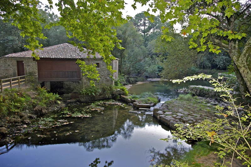
Sendero de los Pescadores Río Miño - Tamuxe - PRG 112
Nearest city:
Vigo
As Eiras (San Bartolomeu)
36760 O Rosal Pontevedra
Spain
Teléfono
This hiking trail, which is suitable for families, runs along great sandy areas and offers impressive panoramic views of the estuary of the Minho River.
Rate this resource
The weather in this area
Figures of protection
Protected area Natura 2000 Network - Site of Community Importance (SCI)
Typology of the route
Linear
Start of the journey
Praia das Eiras
End of the journey
Muíño das Aceñas
Duration
1 hora 50 min
Total length (km)
7,2 Km
I.G.N. cartography
Nº299-I Tomiño y 299-III Salcidos.
Landscape interest of the surroundings
Elevated
Description of the environment
Fluvial
Points of interest
Praia das Eiras, O Cruceiro, Rego de San Miguel, Muíño das Aceñas
Difficulty
Under
Itinerary (M.I.D.E.)
1
Displacement (M.I.D.E.)
1
Effort (M.I.D.E.)
2
Medium (M.I.D.E.)
1
State of conservation
Good
Responsible body
Concello de O Rosal
Recommended material
Prismáticos para el avistamiento de aves
Other services
Servicios en Praia das Eiras y en O Cruceiro


