


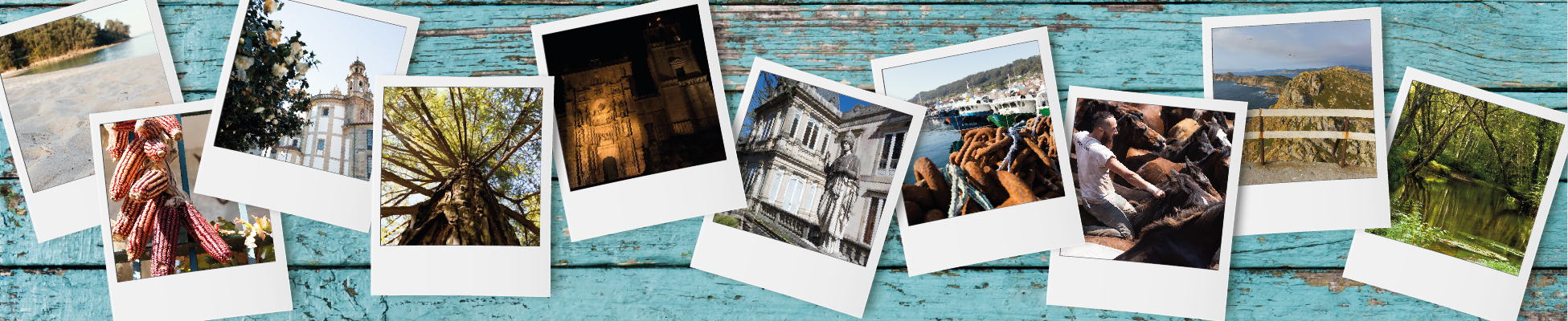


Camino de invierno a Santiago de Compostela

LalínPontevedraRodeiroA EstradaSilleda
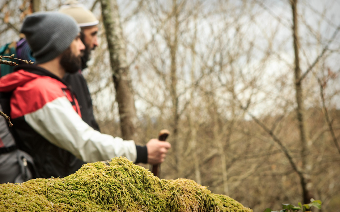
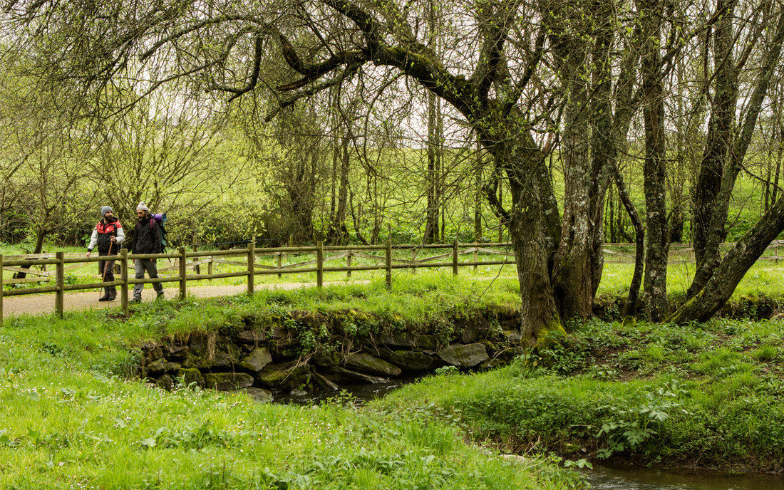
Camino de invierno (‘Winter Route’) is an alternative path in Galicia that passes through the four provinces. Already used by the Romans, it enters the region from the central plateau and follows the lowlands along the Sil River. Pilgrims who wanted to avoid the hard climb up the snowy hills of O Cebreiro opted for this trail, particularly in the winter. It starts in Ponferrada (León) and runs through Ribeira Sacra and the region of Deza in Pontevedra, where it links with the Southeast Route to Santiago.
Features
Starting point and destination It starts in Ponferrada and ends in Santiago de Compostela. Description of the route This route originates from a Roman road that connected the gold mines of Las Médulas to the Via XVIII of the Antonine Itinerary. It followed the mining area of the Sil River and the Roman tunnel of Montefurado. It continued to the flatlands of Lemos and Chantada and crossed the Lor, Cabe and Minho Rivers via Roman bridges, like the one in Barxa de Lor (although the rivers were usually crossed by boat). Then it climbed up from Chantada to the mountains of O Faro, where pilgrims asked the Virgin Mary for her favour in a church past the region of Deza, linking with the Southeast Route in Lalín (A Laxe). Recommended material Make sure to wear comfortable clothes and shoes.- Duración (días): 7
- Access on foot, by bicycle, on horseback, by motorcycle, by private vehicle
- Average length of the stages: 30 km
- Dificultad : Medium-high
- Description of the surroundings: Rural
- Total length of the Way: 235 km
- Number of recommended stages: 7
- Medio (M.I.D.E): 4
- Desplazamiento (M.I.D.E): 3
- Itinerario (M.I.D.E): 4
- Esfuerzo (M.I.D.E): 5
Services
Pilgrims' hostel Albergue de peregrinos de Bendoiro (Lalín); Albergue Fervenza do Toxa (Silleda); Albergue Turístico Silleda (Silleda); El gran Albergue Silleda (Silleda).- Information point: Sí
- Paneles informativos: Sí