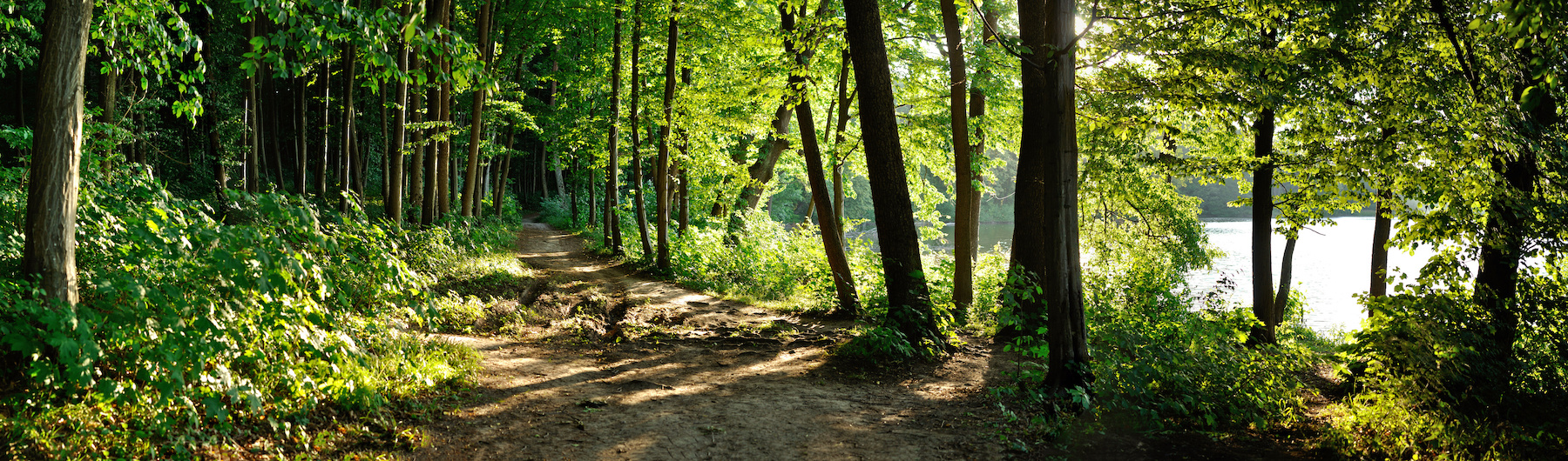


Ruta de Os Cons
This route includes the northern and southern parts, and alternates between truly wild areas such as the O Carreirón Natural Park, and the beaches, viewpoints or other points around the island. The route is purely through nature, with seascapes and panoramic views. It is approximately 7 km long and takes around four and a half hours if you're on foot. It combines unmade roads, asphalt, beaches and wooded walkways, and takes you through nature, vegetation, seascapes, landscapes and urban areas
Services
- Tipo: Free
- Permitido el baño: Sí
- Permitido pescar: Sí
- Information point: Sí
- Paneles informativos: Sí
- Seguro para niños: Sí
Activities
- Actividad: para familias, para niños
Access
- Las infraestructuras del recurso están adaptadas para personas con discapacidad: Sí
- Los accesos al recurso están adaptados para personas con discapacidad: Sí
- ¿Existe transporte público para acceder al recurso?: Sí
- Accesos a pie: Sí
- Accesos para vehículos privados: Sí
Features
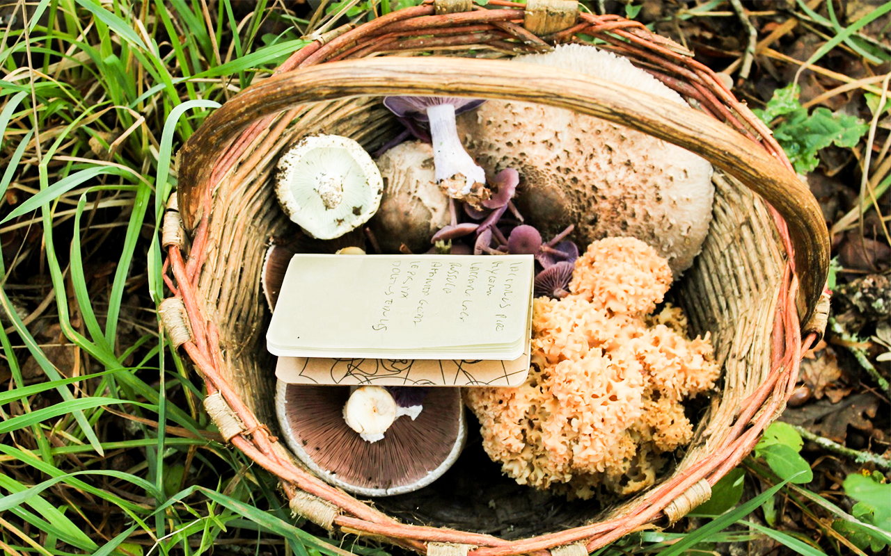
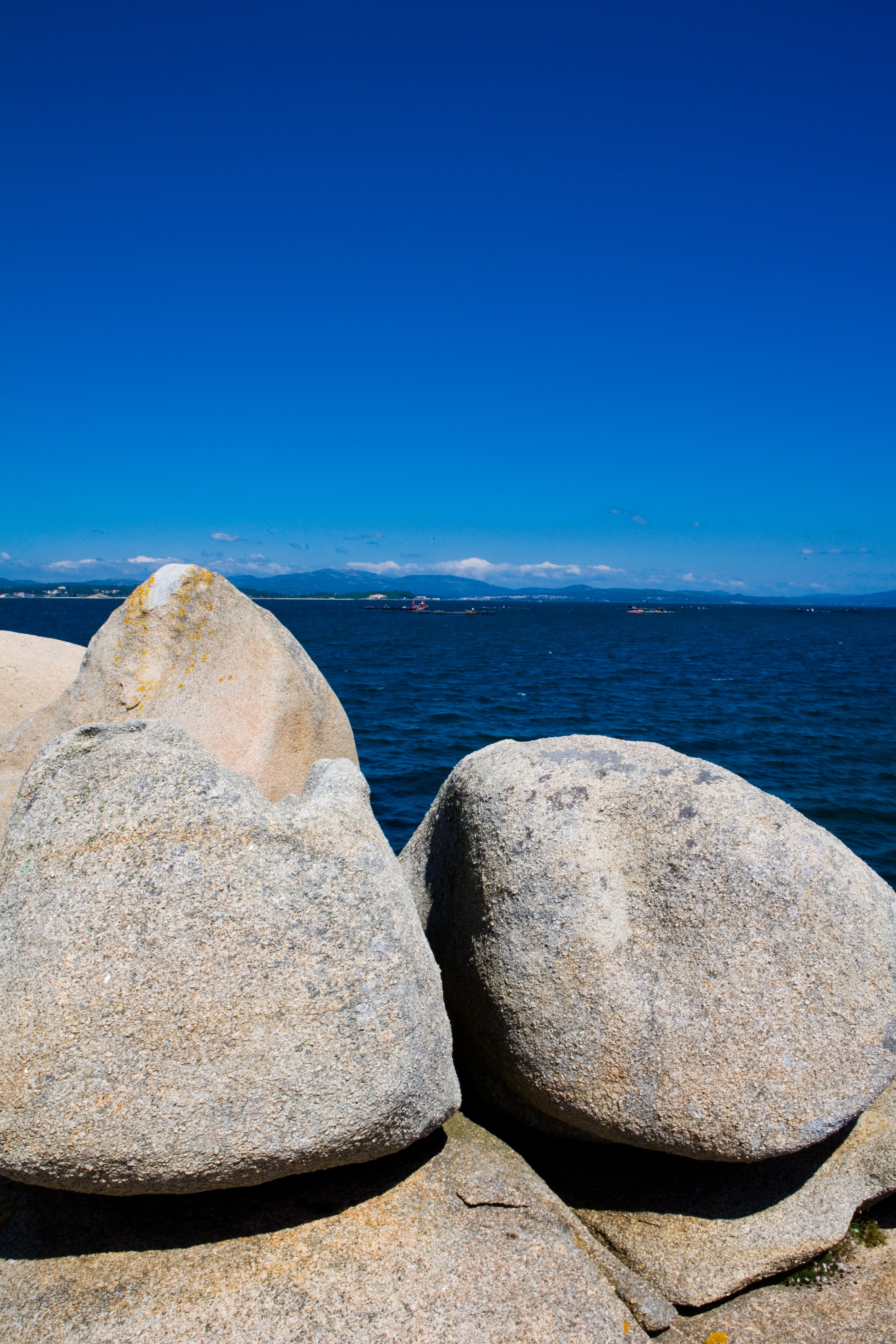
Native terrestrial flora and fauna On the route through the Illa de Arousa you're likely to see rabbits, lizards, amphibians, finches, etc. The trees are almost all pines that have been planted to replace lost woods. There are clumps of reeds and rushes in the marshy areas and plants that have adapted to a marine environment, such as as sea holly, beachgrass, daffodils, sandalwood, thrift, marigold, etc. Places of interest along the route This route runs by a series of unusual rocky formations called "Cons" which are the principal attractions of this walk. However, the natural beauty, the impressive panoramic views of nearby areas and the magnificent beaches of the A Illa de Arousa Island are other interesting aspects Native aquatic flora and fauna Lovers of underwater activities will have the chance to visit one of the most impressive landscapes of the whole Galician coast. In terms of fauna, the rich variety of water fowl and sea birds has led to it being classed as an International Area of Special Protection for Birds (ZEPAs). From the Punta Carreirón Protected Area or the Niño do Corvo Lighthouse, you can observe cormorants, terns, bridled terns and yellow-legged gulls, and a large number of waders and ducks, such as crab plovers, mallards and grebes Starting point and destination Northern zone: it's starting point is Punta Cabalo, and it ends at Con do Forno, where there is the O Santo viewpoint. Southern zone: it's starting point is in Abilleira and it end in Carreirón Nature Park Description of the route The northern route starts at Punta Cabalo, where you'll see the first large rocks (the ones on Faro beach, at A Escorregadoira, Navío and Tres Pies); it then goes round the north of the island, where there beautiful panoramic views, beaches and the Con (outcrop) da Barbafeita and the Con de Niño do Corvo; it continues to the Agro de Alonso area, Con da Abella, Con de Retallado and finally climbs up to the Con do Forno, from where you can see the Con da Grañeira. The route starts in Abilleira, then passes the Monte del Molino de Viento; the Con of Castro de Quilma, the Cons in the Carreirón Natural Park and the Con of Cocodrilo, in As Salinas Recommended material Comfortable clothing: sports clothes and footwear, or trekking kit. It is advisable to carry a bottle to keep hydrated as you walk; in summer, also carry sun cream and a cap- Itinerario (M.I.D.E): 2
- Desplazamiento (M.I.D.E): 2
- Esfuerzo (M.I.D.E): 3
- Medio (M.I.D.E)
- Duración (días)
- Description of the surroundings: With panoramic views
- Duración (horas): 4
- Responsible body: A Illa de Arousa Town Council
- Tipología del Recorrido: Lineal
- Interés Paisajístico: High
- Dificultad : Medium-low
- Estado de la señalización: Good
- Sombra: Sí
- Access on foot, by bicycle, on horseback, by motorcycle, by private vehicle
- Tipología de la ruta: Natural
- Cartography of the National Geographic Institute (IGN): Pontevedra 1:200,000
- Estado de Conservación: Good
- Duración (minutos): 30 minutes
- Length: 7 km