


Sendero del río Tea
A Ponte dos RemediosPonteareas (San Miguel)PonteareasPontevedraSalvaterra de Miñoturismo@ponteareas.es
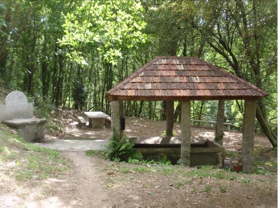
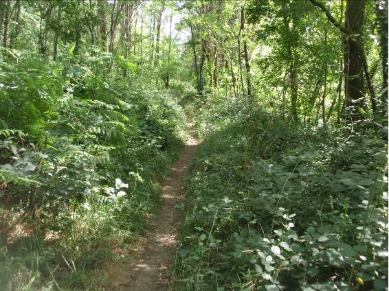
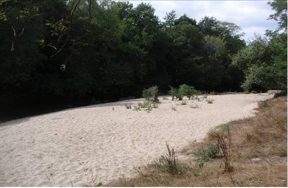
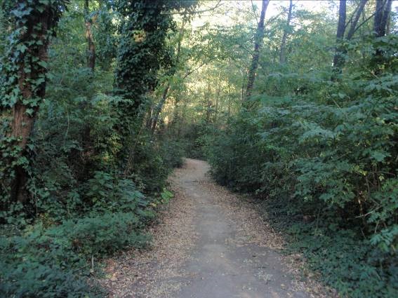
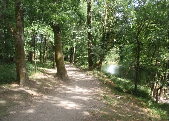
This is a 15 km trail which starts at the Os Remedios medieval bridge and ends after crossing the Fillaboa medieval bridge, in the municipality of Salvaterra de Miño. Several wooden walkways make the steepest climbs easier, although they should be better maintained. All along the route, you'll enjoy the ecosystem of the River Tea SCI (Site of Community Importance) and several river bank beaches and leisure areas
Services
- Permitido el baño: Sí
- Permitido pescar: Sí
- Paneles informativos: Sí
- Seguro para niños: Sí
Access
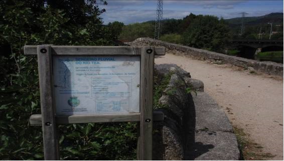
Access description There is direct access to the start of the route from the centre Ponteareas, along a well-maintained asphalted track Signposting description The Ponteareas Town Council had installed signs in the centre of the town, showing the route to the start of the trail. There are blue and white markers all along the trail, so it's easy to follow. There are also several information boards, although they should be better maintained- ¿Existe transporte público para acceder al recurso?: Sí
- Accesos a pie: Sí
- Accesos para vehículos privados: Sí
Features
Native terrestrial flora and fauna River bank woods. Most notable are the alder, birch, elder, ash, English oak and chestnut Places of interest along the route Os Remedios Bridge (Ponteareas), A Moscadeira beach (Ponteareas), Porta da Artesa Leisure Area (Ponteareas), the bridge and beach at As Partidas (Moreira, Ponteareas), the Fillaboa Bridge (Salvaterra de Miño) Responsible body Municipalities of Ponteareas and Salvaterra de Miño Native aquatic flora and fauna The most important fauna are salmon, lamprey and eel Starting point and destination Starting point: centre of Ponteareas. Ends at: A Canuda Park in Salvaterra de Miño Description of the route This route is linear. It is easy to walk, since it is completely smooth and flat. In addition, almost all the route is in shade. It is narrow at some points and has wooden walkways on the steepest sections- Itinerario (M.I.D.E)
- Desplazamiento (M.I.D.E)
- Esfuerzo (M.I.D.E)
- Medio (M.I.D.E)
- Description of the surroundings: River
- Duración (horas): 4
- Tipología del Recorrido: Lineal
- Interés Paisajístico: High
- Dificultad : Low
- Recommended material: Comfortable footwear and clothes
- Estado de la señalización: Good
- Sombra: Sí
- Access on foot, by bicycle, on horseback, by motorcycle, by private vehicle
- Estado de Conservación: Good
- Duración (minutos): 15 minutes
- Length: 17,47 km
