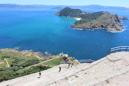


Sendero Azul entre faros, Islas Cíes

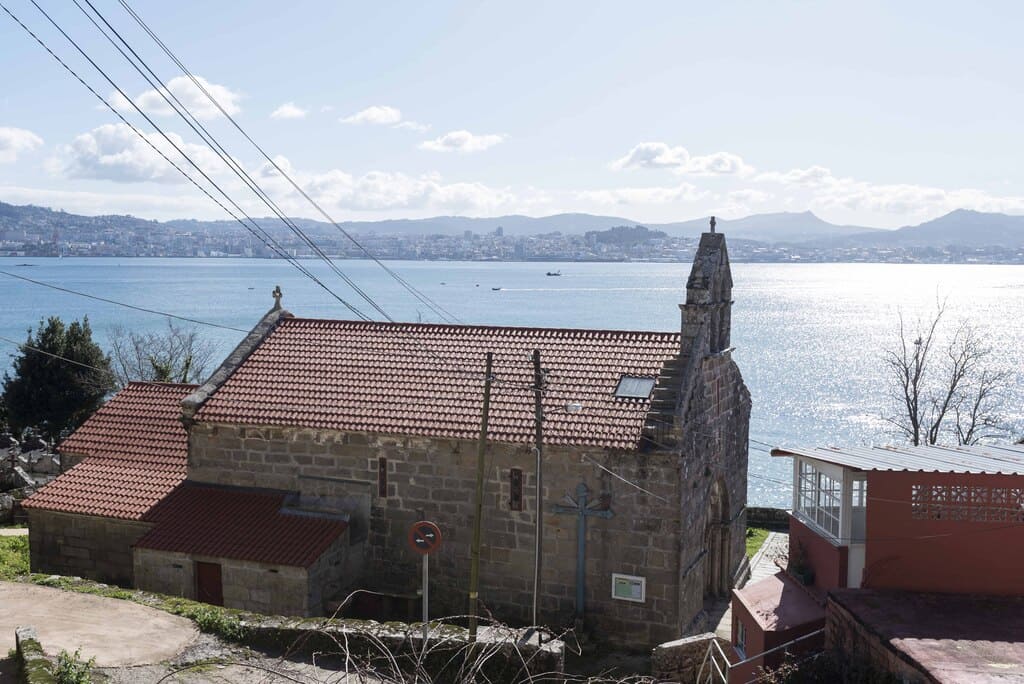
Islas CíesVigoPontevedra
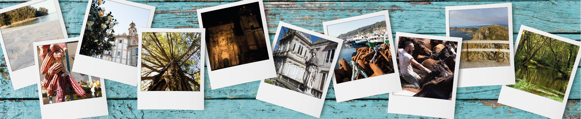
The Cíes Islands consist of the islands of Monteagudo, Faro and San Martiño. They are part of the Atlantic Islands Maritime-Terrestrial National Park, along with the archipelago of Ons, Sálvora and Cortegada. This route uses two existing trails, Faro de Cíes and Faro do Peito. They both offer a broader view of the value and wealth of the area through this route between lighthouses. It passes through the beach of Rodas (which was named the best beach in the world), its dunes, the lake of Lago dos nenos, the national park’s information point, the dunes of Muxieiro-Figueiras, the beach of Figueiras and a bird observatory.
Services
- Permitido el baño: Sí
- Information point: Sí
- Paneles informativos: Sí
- Seguro para niños: Sí
Access
- ¿Existe transporte público para acceder al recurso?: Sí
Features
Places of interest along the route The beach and dunes of Rodas, lake of Lago dos nenos and lighthouse of Cíes are in the south of the islands, while the dunes of Muxieiro-Figueiras, beach of Figueiras, bird observatory and lighthouse of O Peito are in the north part.Responsible body Council of Vigo and Atlantic Islands Maritime-Terrestrial National Park
Starting point and destination The south route (7 km), marked in yellow, starts at information point and ends at the lighthouse of Cíes. The north route (5 km), marked in red, starts at the information point and ends at the lighthouse of O Peito.
- Description of the surroundings: Sea
- Vallas de Protección: Sí
- Tipología del Recorrido: Lineal
- Interés Paisajístico: High
- Sombra: Sí
- Tipología de la ruta: Natural
- Estado de Conservación: Good
Environmental protection status
- Figura de Protección: Parque Natural, LIC, ZEPA, Red Natura 2000, RAMSAR